
1/2


Kampala, Central Division, 19/07
25 views
Drone Land Surveying | Mapping
Construction
Type
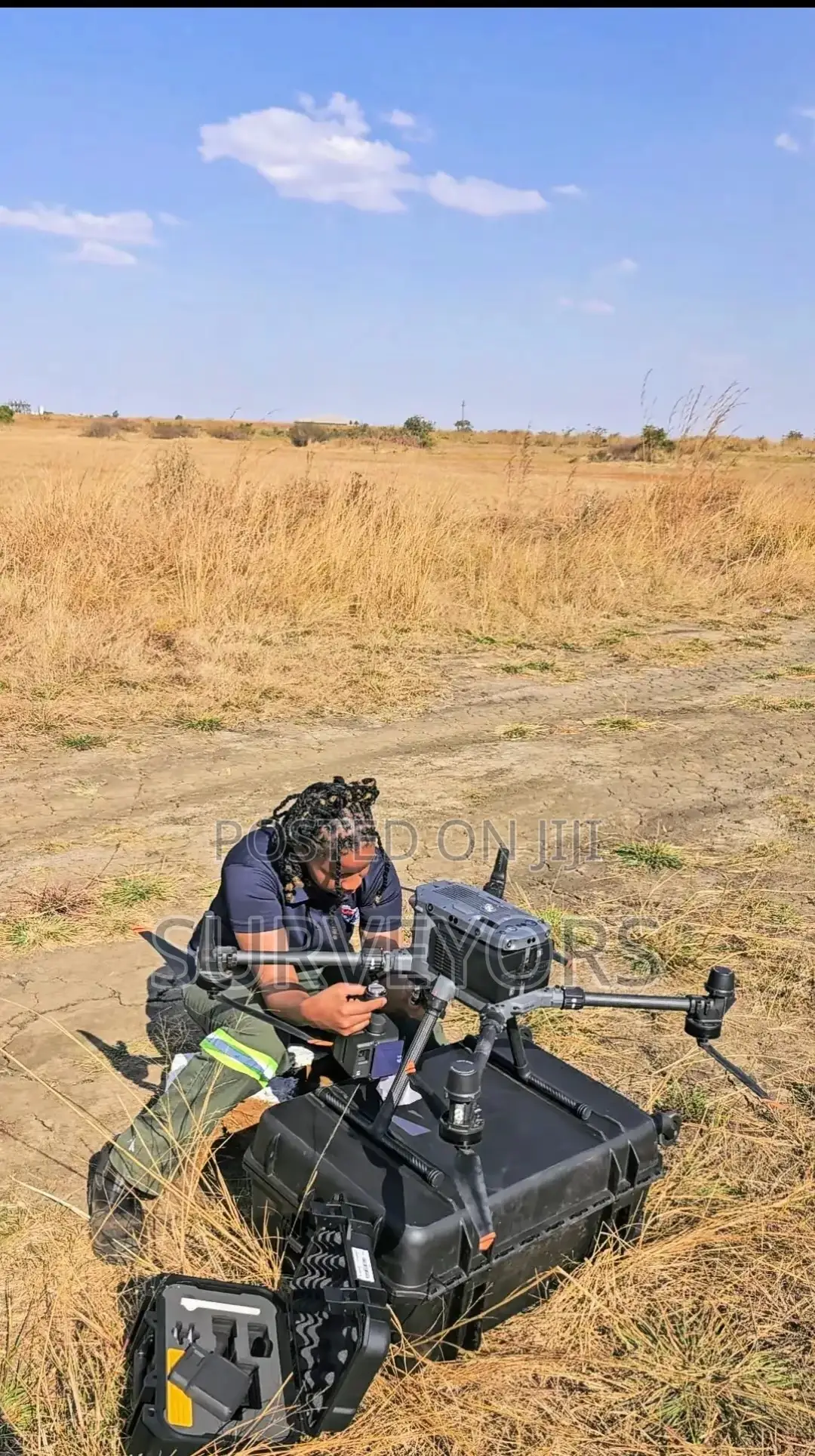
Unmanned Aerial Vehicles (UAVs) popularly known as Drones have become proven technology in the sphere of Aerial Mapping and Survey. Our Licensed Pilots by CAA, use Drones or UAVs as well aerial mapping/survey services which are increasingly becoming the go-to solution for many Geospatial professionals and industries. At Surveyors, we're at forefront in employing latest drone/UAV technology incorporating SenseFly hardware (drones) and Pix4D software products.

Contact for price
Safety tips
- Check Feedback to make sure the person is reliable
- Agree on the scope of work and remuneration
- Meet in person at a safe public place


