

1/2
Promoted
Kampala, Central Division, 4 hours ago
5 views
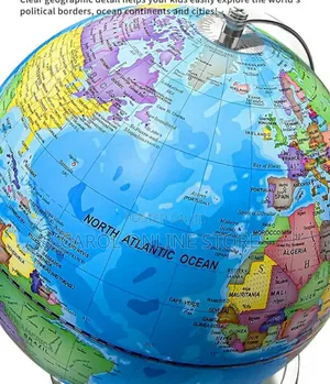
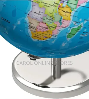
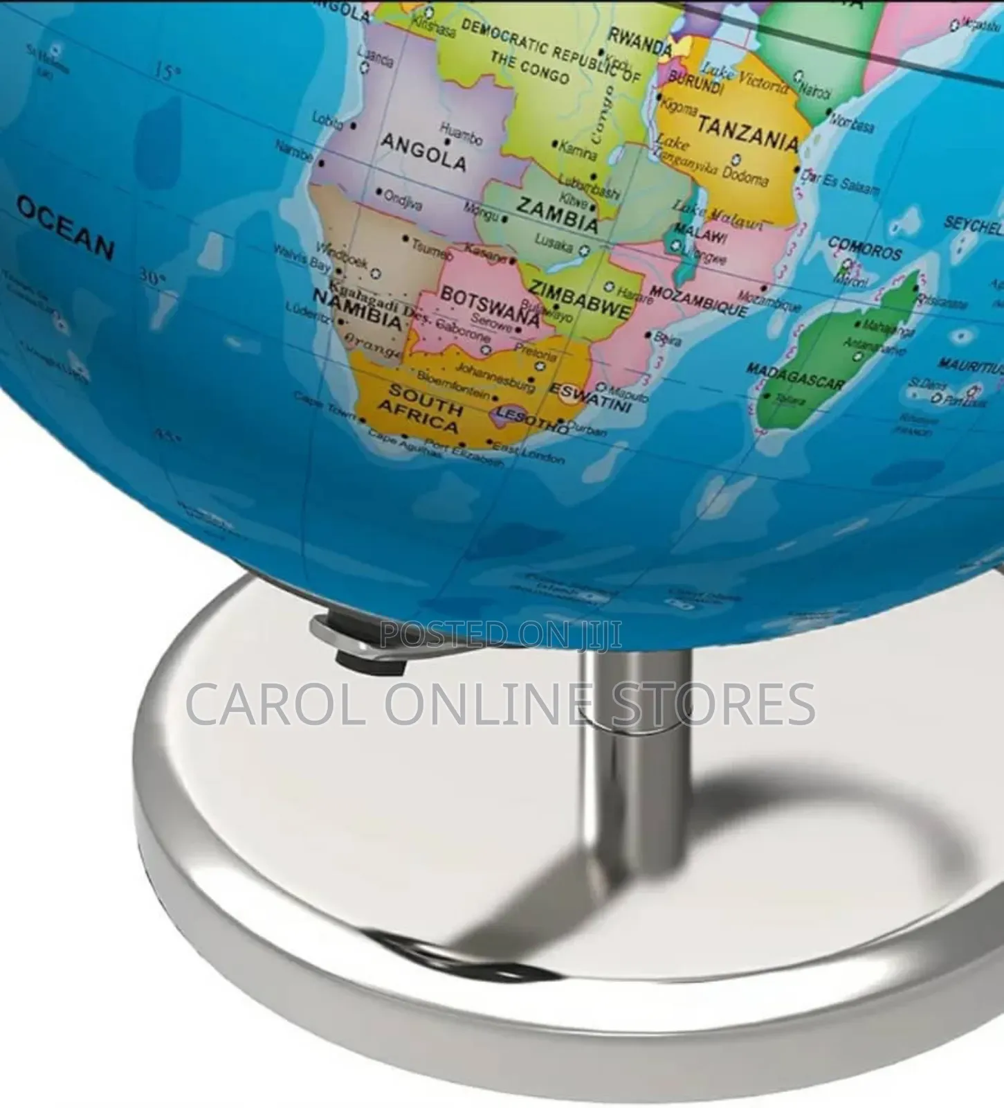
Globe Map Silver Base
Notice Boards
Type
Brand New
Condition
4mm
Width
3mm
Height
Educational Purpose: The globe aims to help children explore political borders, oceans, continents, and cities.
Geographic Detail: It features clear geographic details, including countries like Canada, the USA, Brazil, Iceland, Ireland, France, Portugal, Spain, Morocco, Algeria, Mauritania, Mali, Niger, and various islands.
Ocean Representation: The North Atlantic Ocean is prominently labeled.
Specific Locations: Cities and regions like St. John's (Newfoundland), Bermuda, Azores (Portugal), Madeira Islands (Portugal), and the Canary Islands (Spain) are visible.
Safety tips
- Avoid paying in advance, even for delivery
- Meet with the seller at a safe public place
- Inspect the item and ensure it's exactly what you want
- Make sure that the packed item is the one you've inspected
- Only pay if you're satisfied


