
Kampala, Central Division, Obaddeko 13 essaawa emabega
12 okulabibwa
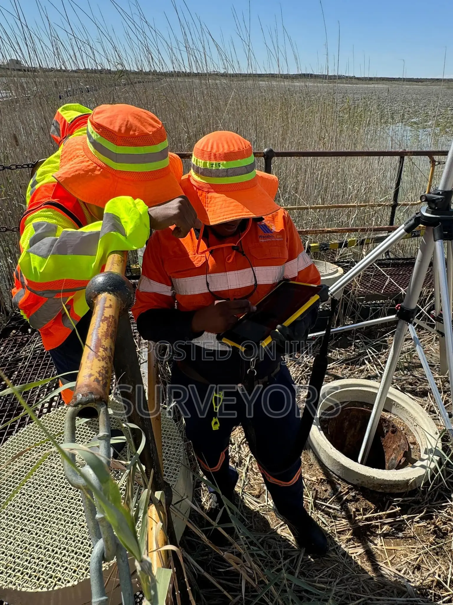
Under Ground Surveying Services
Construction
Ekika
We use under ground survey to calculate the depth of the water body and measure the ground below the water. This data is translated into a Digital Terrain Model (DTM), detailing the contours of the land below the water. Sometimes called a bathymetric survey, it’s used before proceeding with dredging, building a new water well, or directional drilling to put in place new services.
Amagezi ag’okukuuma obulungi
- Kebera Endowooza okakase nti omuntu wa ddala.
- Zikiriziganya ku ngiro y’emirimu n’empeera.
- Mukungane ku kifo kya bantu nga kirimu obukuumi


