
Kyetumbuddwa
Kampala, Rubaga, Obaddeko 1 essaawa emabega
3 okulabibwa
MicroSurvey CAD 2027 | Land Surveying, Civil Design & 3D Mapping Tools
MicroSurvey CAD 2027
Erinnya lya Software
Dizayini
Ekika
Windows
Pulatifomu
Okuwanula ku Mukutu
Engeri
Delivery
Kampala • Central Division
1 olunaku
USh 10,000 - 25,000
Adireesi y'edduuka
Kampala • Rubaga
Nateete - in the market near traffic 🚦 lights.
Call when you're at the main gate or at traffic 🚦 lights"
Kigguddwawo kati
• Bal - Sab, 06:00-21:00
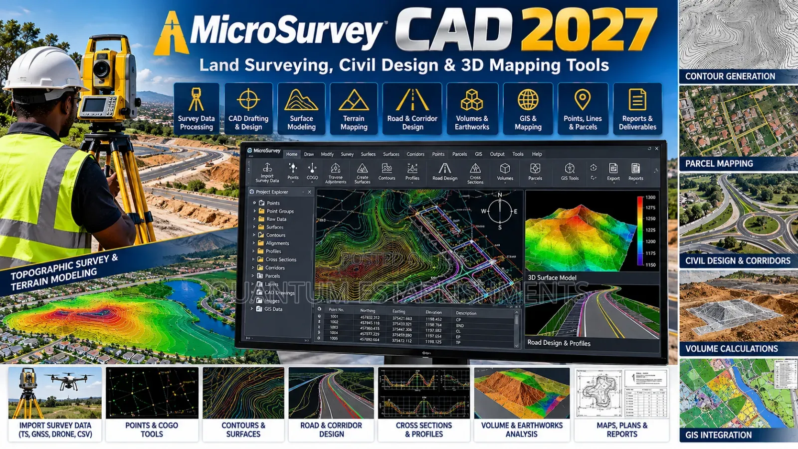
Get microsurvey cad 2027, professional surveying and civil cad software for accurate land mapping, drafting, calculations and terrain modeling.
key features:
• advanced land surveying and cogo tools
• 2d survey drafting and 3d terrain modeling
• traverse calculations
• boundary, parcel and lot design
• contour generation and tin surfaces
• cut and fill volume calculations
• field-to-finish survey data processing
• dwg, dxf and landxml file support
• point cloud tools on supported editions
• intellicad 14.1 drafting engine
• faster pan, zoom and orbit performance
• enhanced snapping and precision
• new dark theme & quick calculator
• improved trim, extend & copy tools.
ideal for: land surveyors, civil engineers, mapping specialists, construction firms & geospatial professionals.
services: installation, configuration & technical support.

Amagezi ag’okukuuma obulungi
- Weewaleko okusasula kuddala, ne bwe kuba kuduusa
- Sisinkananga omutunzi mu kifo eky'ekwerinda ekirikimu abantu abangi
- Kebera ekintu era okakase nti kye ky'oyagala ddala
- Kakasa nti ekintu ekyazibwamu kye werekebako.
- Sasula bw'oba nga omusanyufu bokka


