
1/3
Mpigi, Mpigi TC, 11/11
11 views
Tripplewings Borehole Drilling
Tripplewings borehole surveying
Company Name
Domestic & Industrial
Service Type
Surveying
Type
Hydrographic Surveys
Surveying Service Type
more than 5 years
Surveying Work Experience
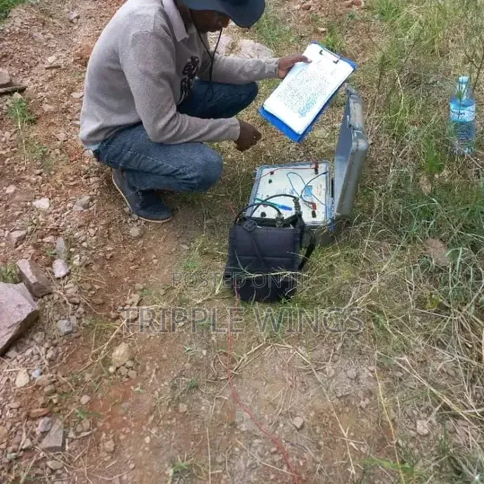
2D Surveying for Groundwater Detection
A 2D survey (most commonly implemented using 2D Electrical Resistivity Tomography (ERT) or 2D seismic profiles) measures subsurface properties along a linear transect on the surface.
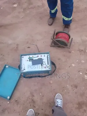
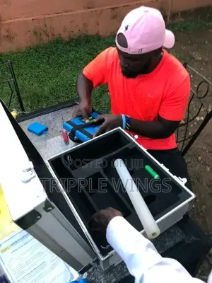
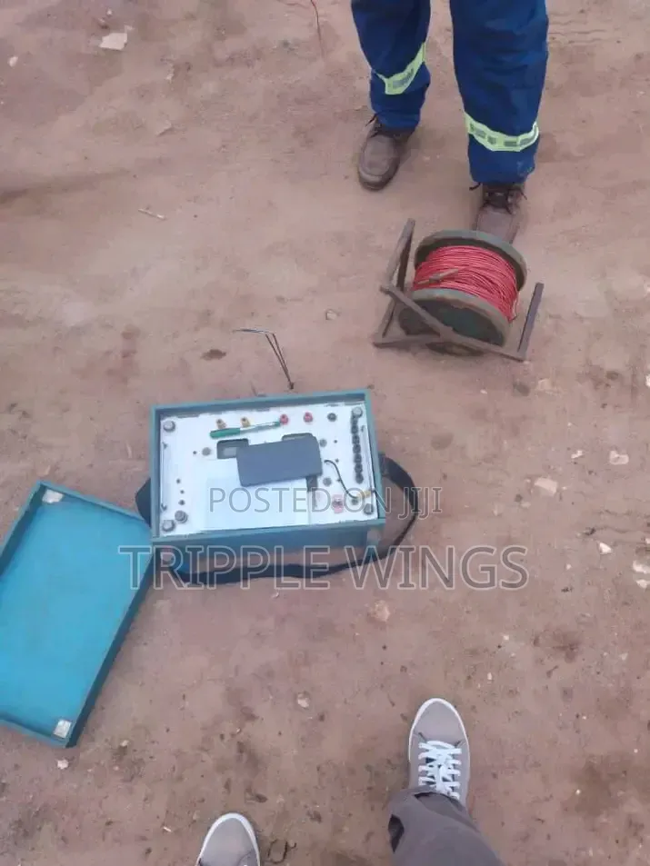
How it Works: Multiple electrodes are staked into the ground along a straight line, connected by multi-core cables. An electrical current is injected into the ground, and the resulting potential differences are measured to calculate apparent resistivity.
Data Output: Generates a 2D vertical slice (pseudosection) showing variations of resistivity both laterally along the line and vertically with depth.
Water Detection Role: Water-saturated layers, weathered fractures, and alluvial aquifers typically exhibit significantly lower resistivity (higher conductivity) compared to dry, competent bedrock. 2D surveys

Safety tips
- Check Feedback to make sure the person is reliable
- Agree on the scope of work and remuneration
- Meet in person at a safe public place


