
Promoted
Kampala, Rubaga, 1 hour ago
6 views
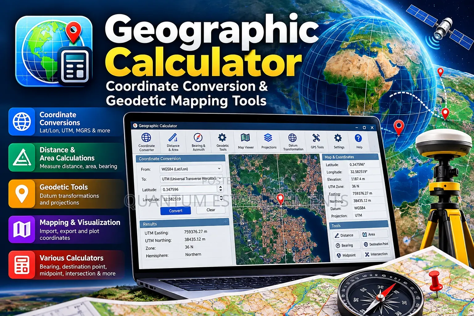
Geographic Calculator | Coordinate Conversion & Geodetic Mapping Tools
Geographic Calculator Software
Software Name
Design
Type
Windows
Platform
Digital Download
Format
Current version
Software Version
64 bit
Operating System Bit Version
Private Use
Usage
Lifetime
License Duration
1
Number of Users
5GB
Storage Required
8000MB
RAM Required
Delivery
Kampala • Central Division
1 day
USh 10,000 - 25,000
Store address
Kampala • Rubaga
Nateete - in the market near traffic 🚦 lights.
Call when you're at the main gate or at traffic 🚦 lights"
Open now
• Mon - Sun, 06:00-21:00
Get Geographic Calculator, professional geodetic software for accurate coordinate conversion, datum transformation and spatial data processing.
Key Features:
• Coordinate System Conversion
• Geodetic Datum Transformations
• Map Projection Calculations
• Vertical Datum and Height Conversion
• Batch Coordinate Processing
• Custom Coordinate System Definitions
• Geographic and Projected Coordinates
• Survey Data Conversion and Validation
• Grid-Based Transformation Support
• Coordinate Accuracy and Quality Checks
• GIS and CAD Workflow Integration
• Multiple Geospatial File Formats
• Precise Positioning and Mapping Tools.
Ideal For: Land surveyors, GIS analysts, mapping specialists, civil engineers, geodesists and geospatial professionals.
Services: Installation, configuration & technical support.
Reliable setup for professional projects.

Safety tips
- Avoid paying in advance, even for delivery
- Meet with the seller at a safe public place
- Inspect the item and ensure it's exactly what you want
- Make sure that the packed item is the one you've inspected
- Only pay if you're satisfied


