
Imefaulu
Kampala, Rubaga, masaa 2 yaliyopita
2 maoni
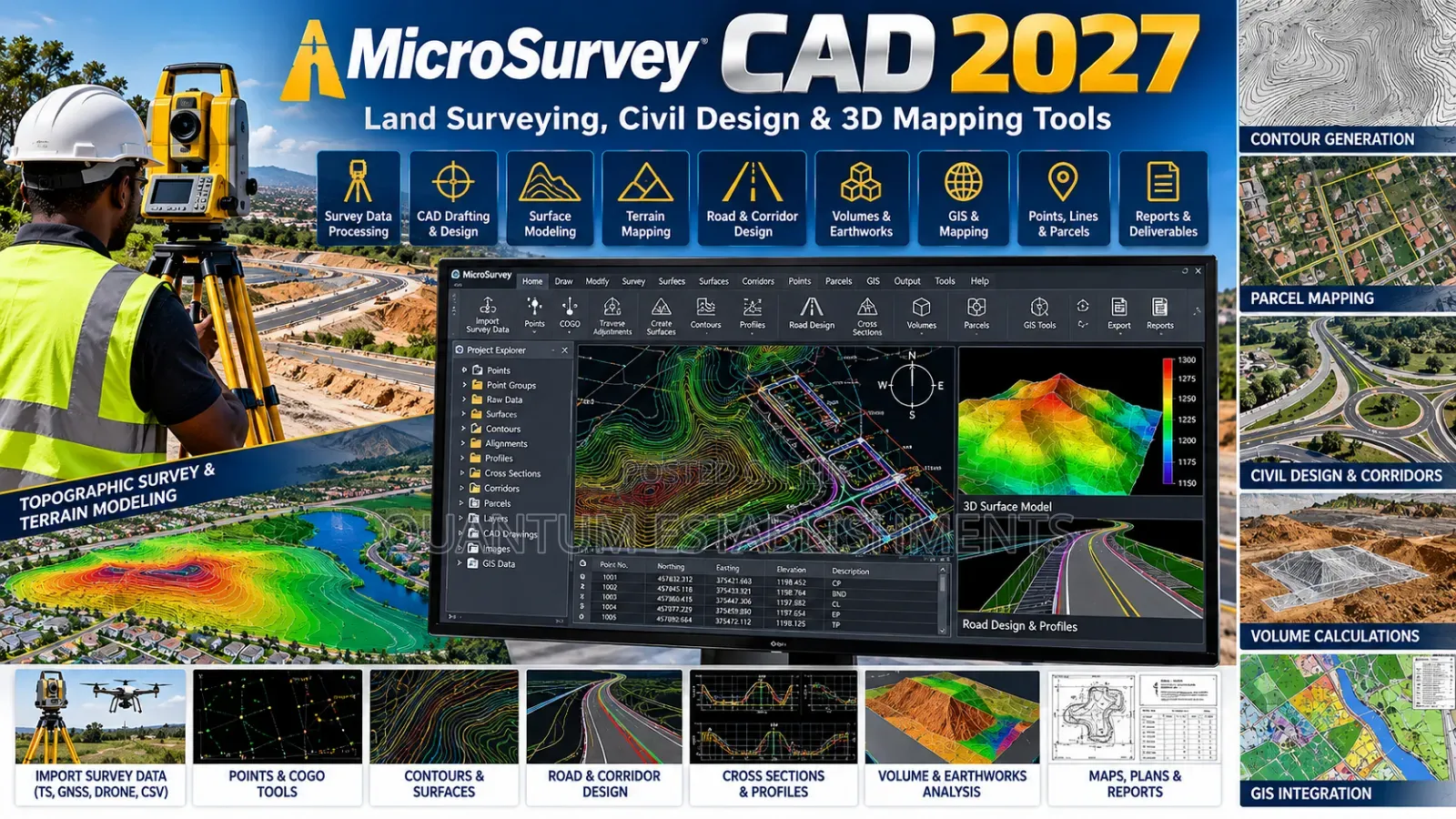
MicroSurvey CAD 2027 | Land Surveying, Civil Design & 3D Mapping Tools
MicroSurvey CAD 2027
Jina la Programu
Sanifu au kubuni
Aina
Windows
Jukwaa
Upakuaji wa Dijitali
Umbizo
Uwasilishaji
Kampala • Idara ya Kati
1 mchana
USh 10,000 - 25,000
Anwani ya duka
Kampala • Rubaga
Nateete - in the market near traffic 🚦 lights.
Call when you're at the main gate or at traffic 🚦 lights"
Fungua sasa
• Jumatatu - Jumapili, 06:00-21:00
Get microsurvey cad 2027, professional surveying and civil cad software for accurate land mapping, drafting, calculations and terrain modeling.
key features:
• advanced land surveying and cogo tools
• 2d survey drafting and 3d terrain modeling
• traverse calculations
• boundary, parcel and lot design
• contour generation and tin surfaces
• cut and fill volume calculations
• field-to-finish survey data processing
• dwg, dxf and landxml file support
• point cloud tools on supported editions
• intellicad 14.1 drafting engine
• faster pan, zoom and orbit performance
• enhanced snapping and precision
• new dark theme & quick calculator
• improved trim, extend & copy tools.
ideal for: land surveyors, civil engineers, mapping specialists, construction firms & geospatial professionals.
services: installation, configuration & technical support.
USh 500,000

QUANTUM ESTABLISHMENTS LIMITED
5+ miaka kwenye Jiji
ID Iliyothibitishwa
Hujibu ndani ya dakika chache
Vidokezo vya Usalama
- Usilipe mapema hata kama ni ada ya kusafirishiwa bidhaa
- Kutana na muuzaji mahali salama pa umma
- Kagua kipengee na uhakikishe ni nini hasa unachotaka
- Hakikisha kwamba bidhaa uliyofungiwa ni ile ambayo uliagiza
- Lipa tu ikiwa umeridhika


